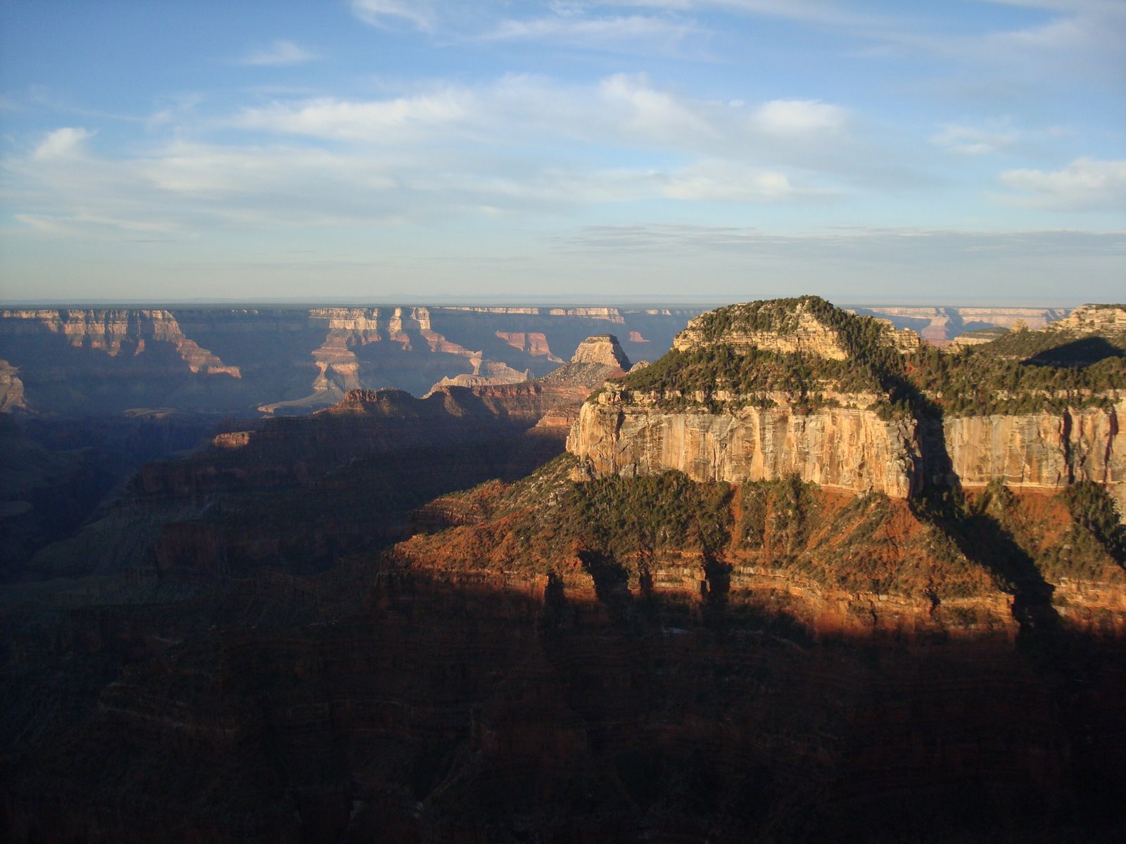
Our second night at the North Rim we camped at the National Park campground. The following morning after a quick shower we packed up and headed north into Utah. On the road north to Bryce Canyon we saw a roadside sign for Zion National Park. It wasn't on our
agenda but it was a place both Sara and I wanted to see. So we took a short side trip into the park. I think our trip into Zion was one of our favorite moments along the trip. It
truly was spectacular and we were
disappointed we didn't have more time to visit. Someday we'll return.

An island of aspen in a forest of pine. We stumbled across this aspen on our walk back to our campsite after watching the sunrise at the canyon rim.

These pictures cannot capture the beauty of the sandstone cliffs that surround the park. Here is a picture of one of the cliffs that towers over the park road.

Sara snapped this picture of me as I take a break from scrambling around on the rocks. I can see now why many consider this place as one of the best kept secrets of the National Park system and also one of the
premier mountain biking destinations.

Sara doing her part to prevent
erosion. We found this dugout along the Canyon overlook trail in Zion.

A view of Zion Valley from the end of the Canyon Overlook trail. Notice the park road winding down at the base of the valley.

Another view from the Overlook trail.

More of the sandstone landscape that make Zion unique.

A checkerboard
patern on on one of the large buttes within the park. Sara snapped this picture as we passed by in our car.

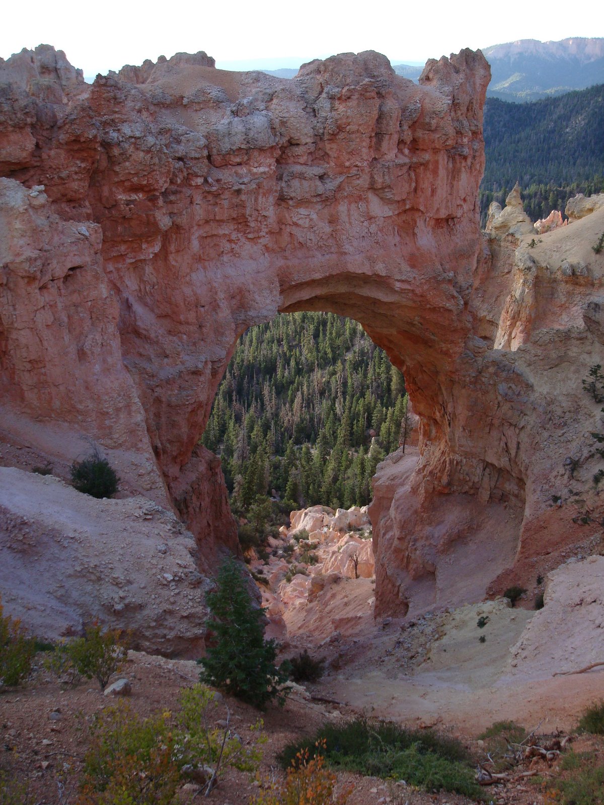
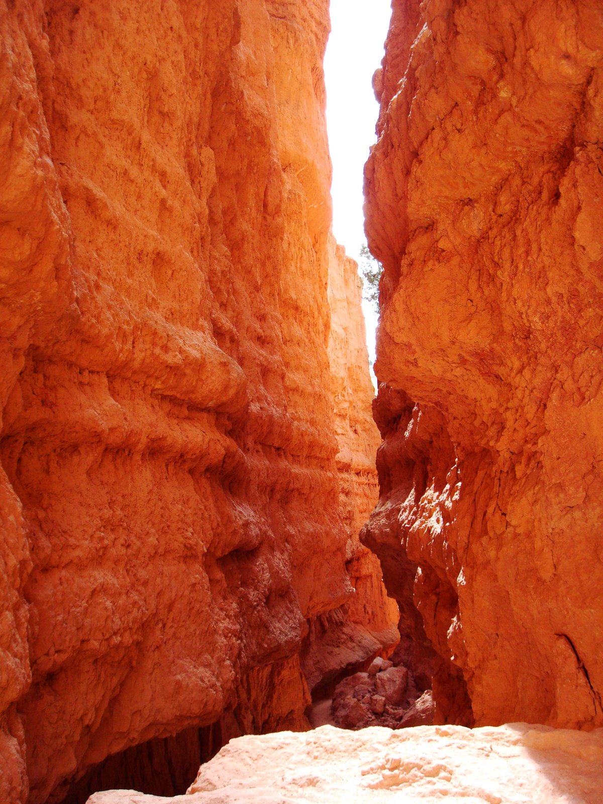
A snapshot from Red Canyon on our way to Bryce.

We made it to Bryce Canyon just in time to for sunset. The unique geologic features of Bryce Canyon dominate the foreground with Grand Staircase/
Escalante National Monument can be seen beyond.

The sun sets below he Utah horizon and
briefly illuminates the smaller limestone hoodoos below us.

Another shot of the glowing hoodoos.
The three amigos.

The last light of day.
 A bush found on the banks of the St. Louis River which is on fire with color.
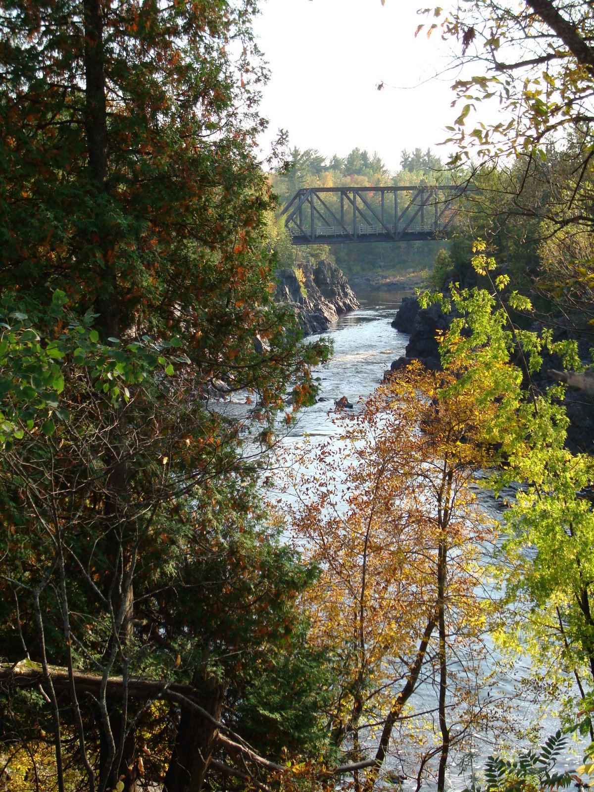 An abandoned train tressel that spans over the St. Louis River. It now carries a portion of the Munger Trail which connects Duluth to Hinkley about 75 miles to the south.
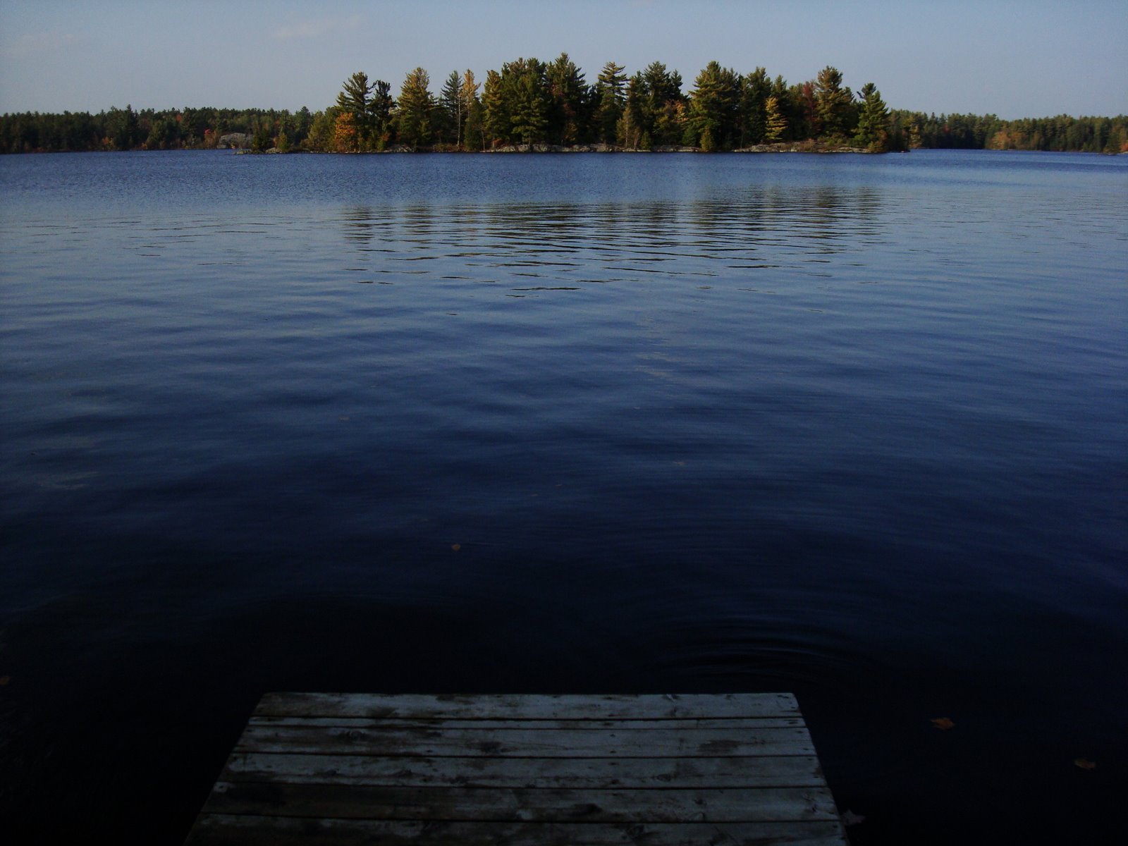 The reservoir behind the Minnesota Power Dam near Jay Cook. The reservoir was really high at the time of our visit due to several large rainstorms that came through, finally ending our drought.
 Another shot of the reservoir capturing the fall colors on its rocky peninsulas and islands.
 The St. Louis River carving its way to Lake Superior.
 The spillway at the dam.